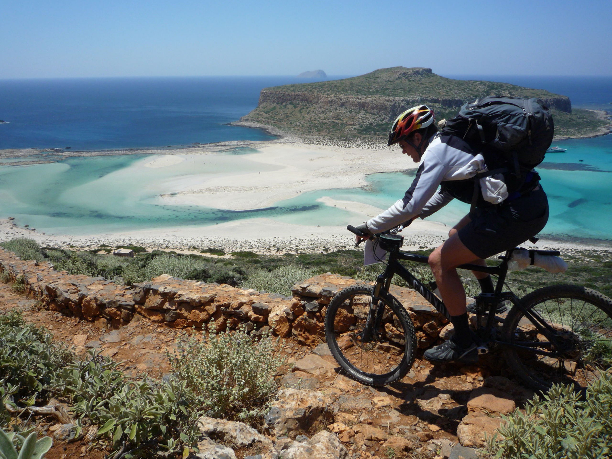
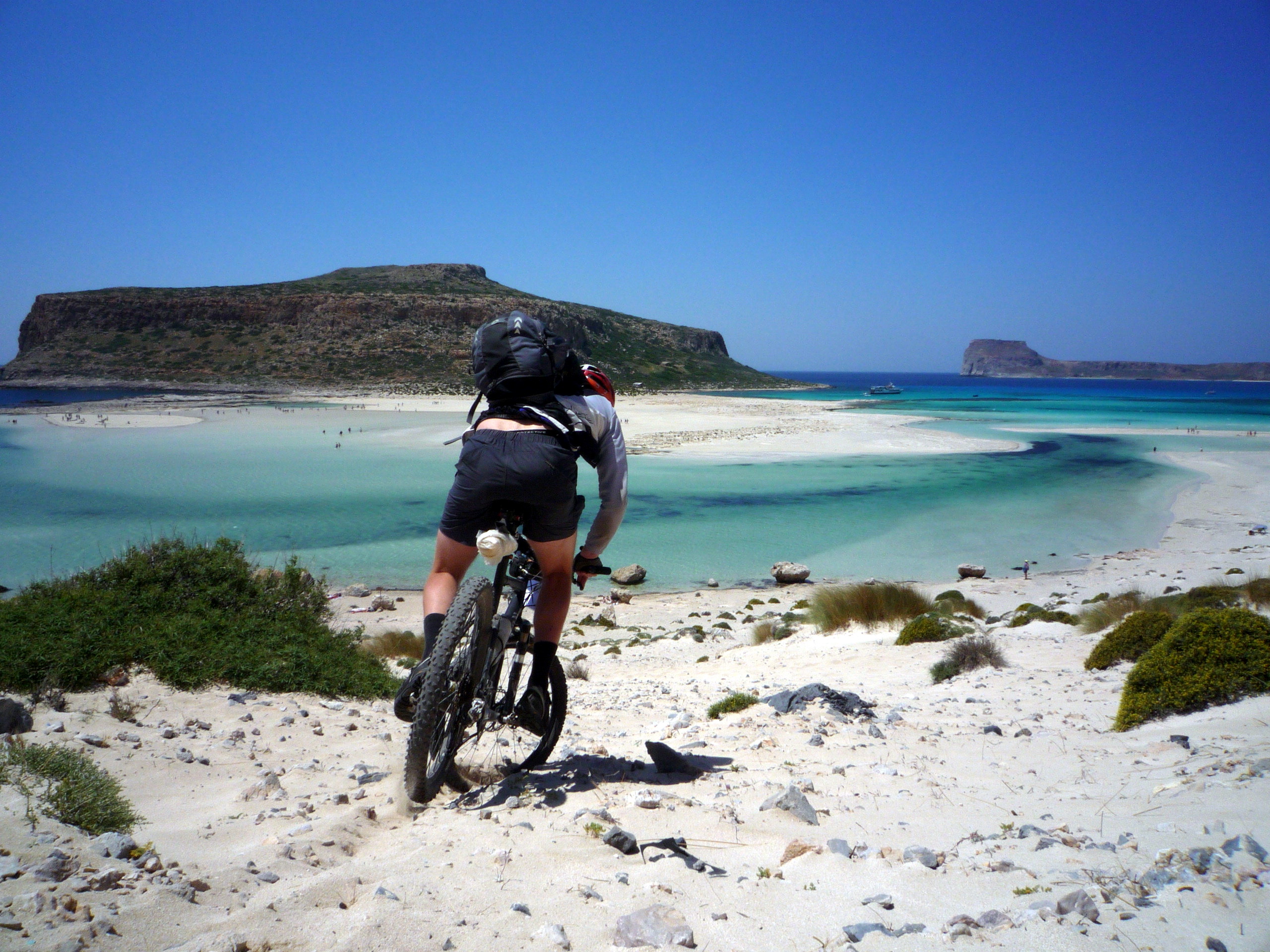
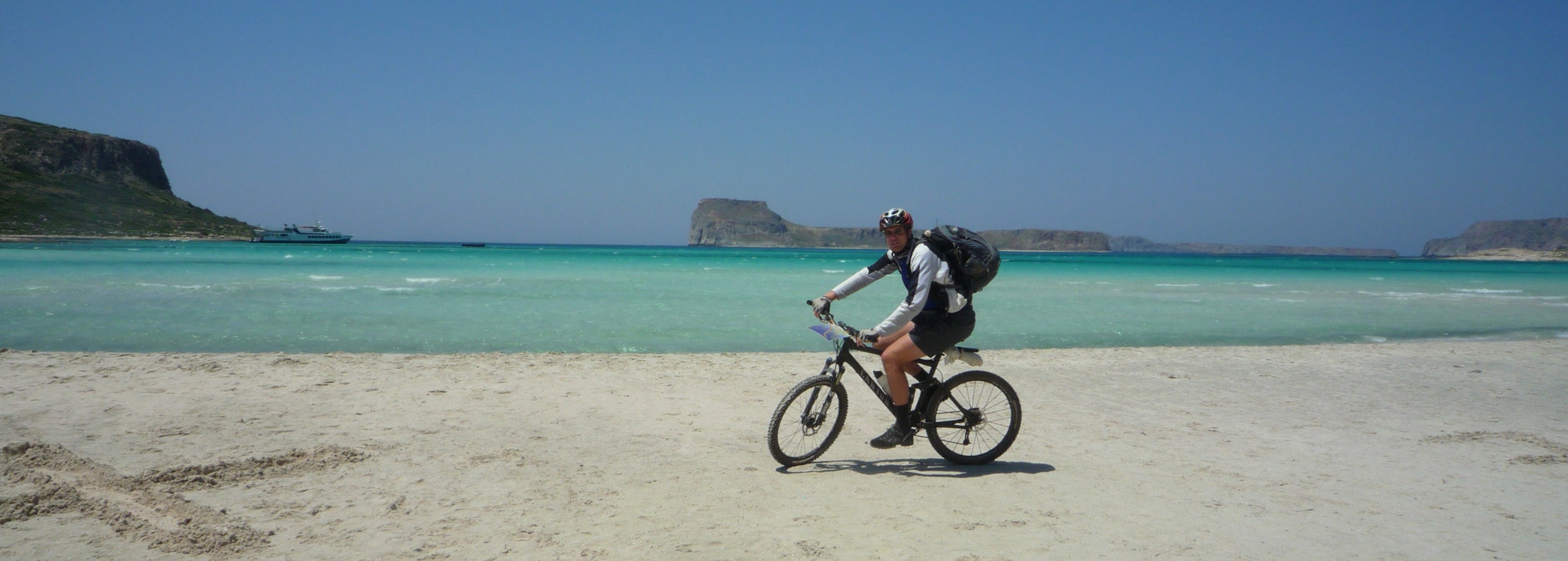
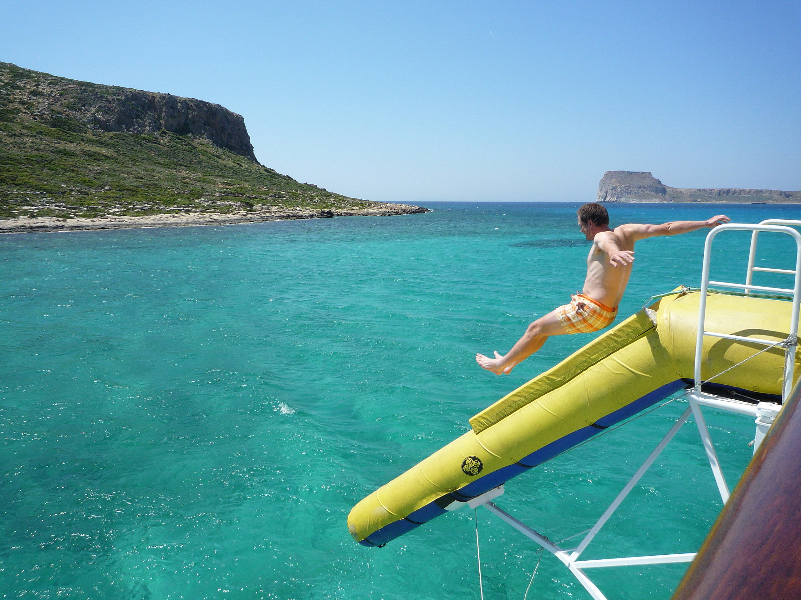
MiketheBikeWW
Highlander
Jetzt sei mal nicht gleich so zickig! 
Ich bin halt davon ausgegangen das irgendjemand ne Seite kennt wo man die Koordis findet!
Marcus hat sie Dir ja nun mitgeteilt!
Allerdings weiß ich ja nun auch ne Seite wo man es rausbekommt!
Hehe...
Hier hab ich noch was für den Süden. Da MUSST Du normal hoch!")
Gefunden auf trails.mtbr.com
Anavriti-Taygetos shelter-Ksirokambi
2 reviews 5 of 5
Very impressive scenery on the majestic and historical mount Taygetos. A plethora of sceneries . Mostly through woods. Snow from november to April. Hard climb perfect downhill.
Latitude 36.96744946416931
Longitude 22.34619140625
Trail Directions From sparta you can go to anavriti by a 12 km road or a 7 km singletrack. there, in the traditional village (950m altidude) you take the forest road that leads to Soha 5 km of steep climb. then you take the E4 path that leads to Maganiari a fantastic trial on the male mountain . You climb for 6 km and then the adventure begins with 4 km of technical downhill. From maganiaris we have tow choices to continue on the E4 9you have to take the bike with the hands, or the forest road 12 km . Whatever your choice is yiu will find 12 km of hard climbing. All the trail is in a beautiful forest. At the end of the exhausting climb we have a spendid view of the peak of taygetos (2407m usually covered with snow) with its pyramid like shpe or you can see the sea. You can stay in the shelter and then head down for 21 km of exhilarating downhill. You can find whatever terrain you like rochy, sandy, muddy, snow-covered(Nov.-Apr.) Just anything. You pass a lot of historical sites(including the most ancient bridge of europe it stands there since 150 BC) and finish your trail on Ksirokambi if you want. There are so many trials that is hard to choose. But this one is a must for evey mountain biker visiting greece.
Trail Length 50km
Trail Level Trails for all skill levels
Trail Type Singletrack & Fire Roads
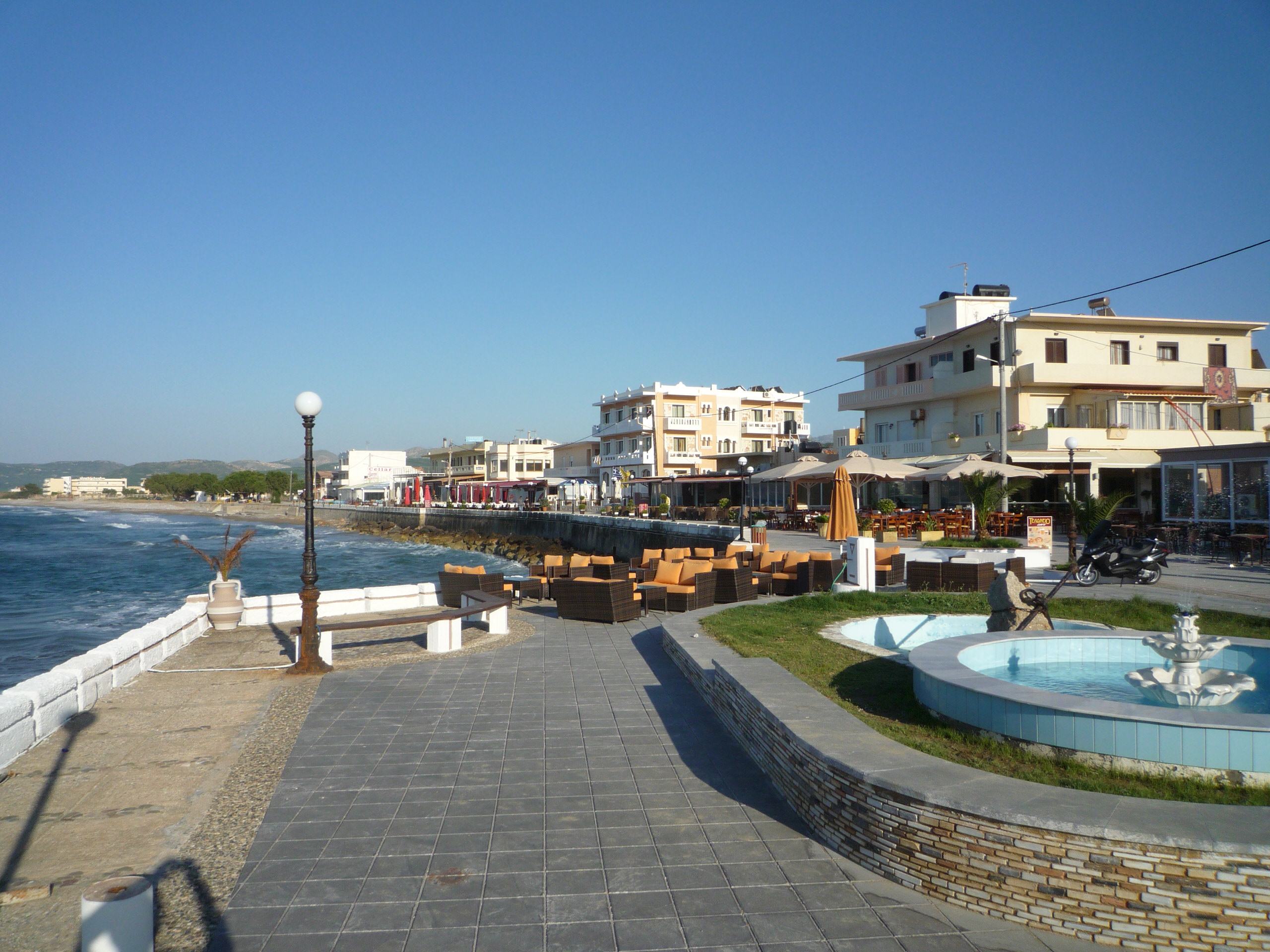
City/County Sparta, Greece
Ich bin halt davon ausgegangen das irgendjemand ne Seite kennt wo man die Koordis findet!
Marcus hat sie Dir ja nun mitgeteilt!
Allerdings weiß ich ja nun auch ne Seite wo man es rausbekommt!
Hehe...
Hier hab ich noch was für den Süden. Da MUSST Du normal hoch!
Gefunden auf trails.mtbr.com
Anavriti-Taygetos shelter-Ksirokambi
2 reviews 5 of 5
Very impressive scenery on the majestic and historical mount Taygetos. A plethora of sceneries . Mostly through woods. Snow from november to April. Hard climb perfect downhill.
Latitude 36.96744946416931
Longitude 22.34619140625
Trail Directions From sparta you can go to anavriti by a 12 km road or a 7 km singletrack. there, in the traditional village (950m altidude) you take the forest road that leads to Soha 5 km of steep climb. then you take the E4 path that leads to Maganiari a fantastic trial on the male mountain . You climb for 6 km and then the adventure begins with 4 km of technical downhill. From maganiaris we have tow choices to continue on the E4 9you have to take the bike with the hands, or the forest road 12 km . Whatever your choice is yiu will find 12 km of hard climbing. All the trail is in a beautiful forest. At the end of the exhausting climb we have a spendid view of the peak of taygetos (2407m usually covered with snow) with its pyramid like shpe or you can see the sea. You can stay in the shelter and then head down for 21 km of exhilarating downhill. You can find whatever terrain you like rochy, sandy, muddy, snow-covered(Nov.-Apr.) Just anything. You pass a lot of historical sites(including the most ancient bridge of europe it stands there since 150 BC) and finish your trail on Ksirokambi if you want. There are so many trials that is hard to choose. But this one is a must for evey mountain biker visiting greece.
Trail Length 50km
Trail Level Trails for all skill levels
Trail Type Singletrack & Fire Roads
City/County Sparta, Greece
")